Sample Report
What your homeowner walks away with.
A complete Home Health Report: one composite score across fire, storm, and roof, a clear priority list of what to look at, and the photo evidence behind it. Scroll the preview, then open the PDF.
Home Health Report
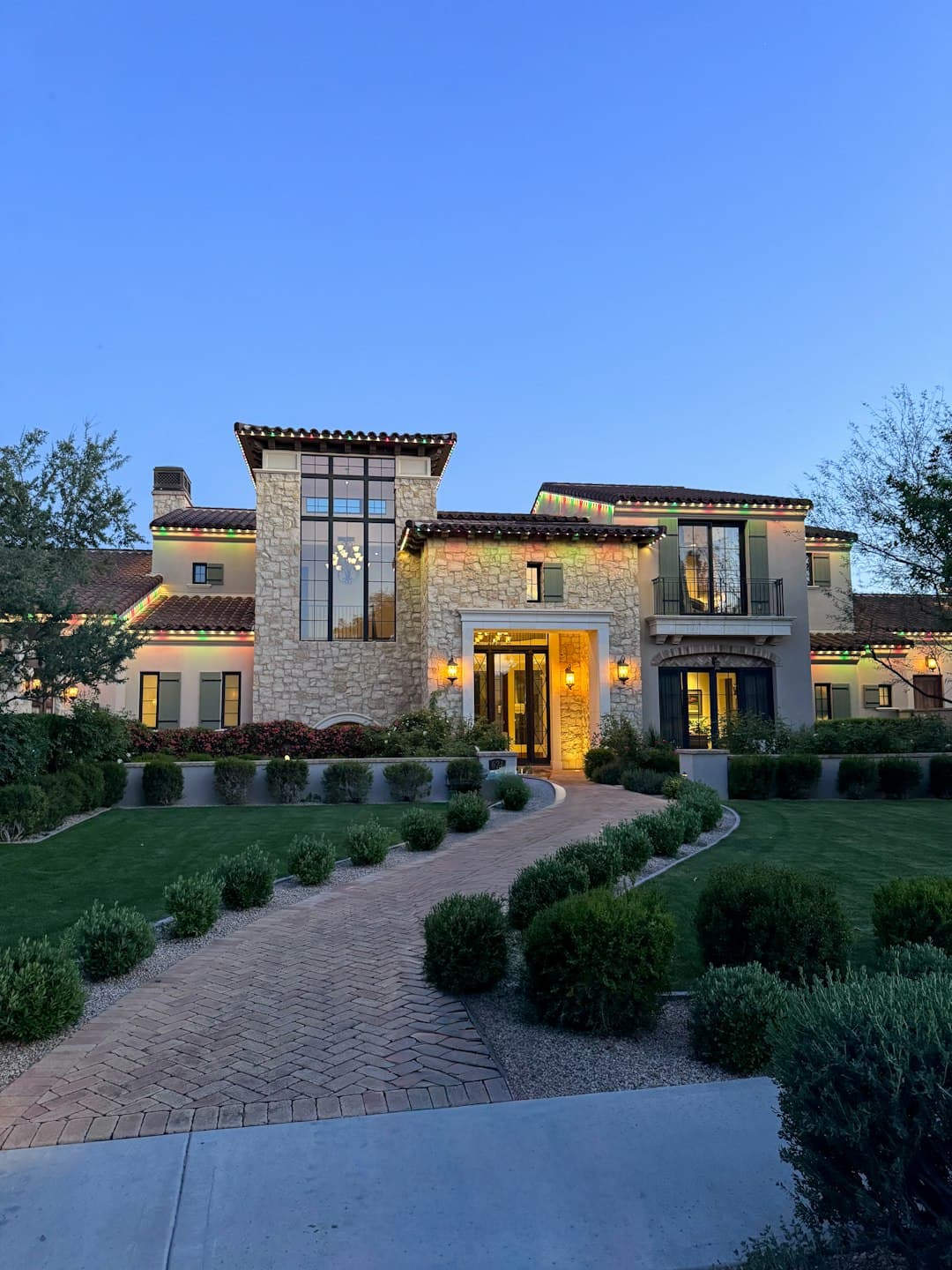
1234 Wildfire Lane
Austin, TX 78746 · Travis County
71
/ 100 · B
One composite across your peril modules, weighted by what is relevant to your location. It is a rubric read of condition, not a carrier decision.
- Risk Tier
- Moderate Risk
- Confidence
- 78%
- Carrier of Record
- Germania Mutual
- Generated
- Apr 22, 2026
- FireIntelWildfire62
- StormIntelWind / Hail / Water71
- RoofIntelRoof Condition78
County Risk Context
FEMA NRI · FIPS 48453
County-level baseline hazard from the FEMA National Risk Index. These don’t change your score directly (the photo evidence does), but they explain why carriers price the way they do in your area.
Wildfire
Relatively High
78.4 / 100
Strong Wind
Relatively Moderate
65.2 / 100
Hail
Relatively High
81.7 / 100
Riverine Flood
Relatively Low
41.3 / 100
Your Top Priorities
Start Here
What to look at first.
The highest-severity items from the report below. They tend to move the score the most and are usually the least expensive to address.
- 1criticalImmediate · 0–5 ft
Cedar tree within 5 ft of structure
Remove or relocate. Ashe Juniper carries highly volatile oils and is the primary wildfire fuel in the Hill Country. Maintain a minimum 10 ft clearance from any wall or eave.
- 2highRoof surface
Leaves and debris in gutters
Clean gutters and install 1/8" mesh gutter guards. Accumulated organic debris becomes ember fuel along the roofline and removes ember resistance the roof was rated for.
- 3highImmediate · 0–5 ft
Wood mulch against foundation
Replace wood mulch with gravel or stone within 5 ft of the structure on all sides. A non-combustible perimeter is the highest-impact change you can make.
FireIntel · Defensible-Space Zones
62 / 100
Three concentric zones offset outward from your home. They are the same zones every carrier rubric reads.
- Zone 0: 0 to 5 feet from the house. The ember zone.
- Zone 1: 5 to 30 feet. Lean, clean, green.
- Zone 2: 30 to 100 feet. Reduced fuel.
Immediate 0 – 5 ft
High Risk
Intermediate 5 – 30 ft
Moderate
Extended 30 – 100 ft
Low Risk
RoofIntel · Roof Condition
78 / 100
Active module. 11-year architectural asphalt roof inside the RCV-to-ACV window TX carriers cite at renewal; granule loss and a flashing defect documented.
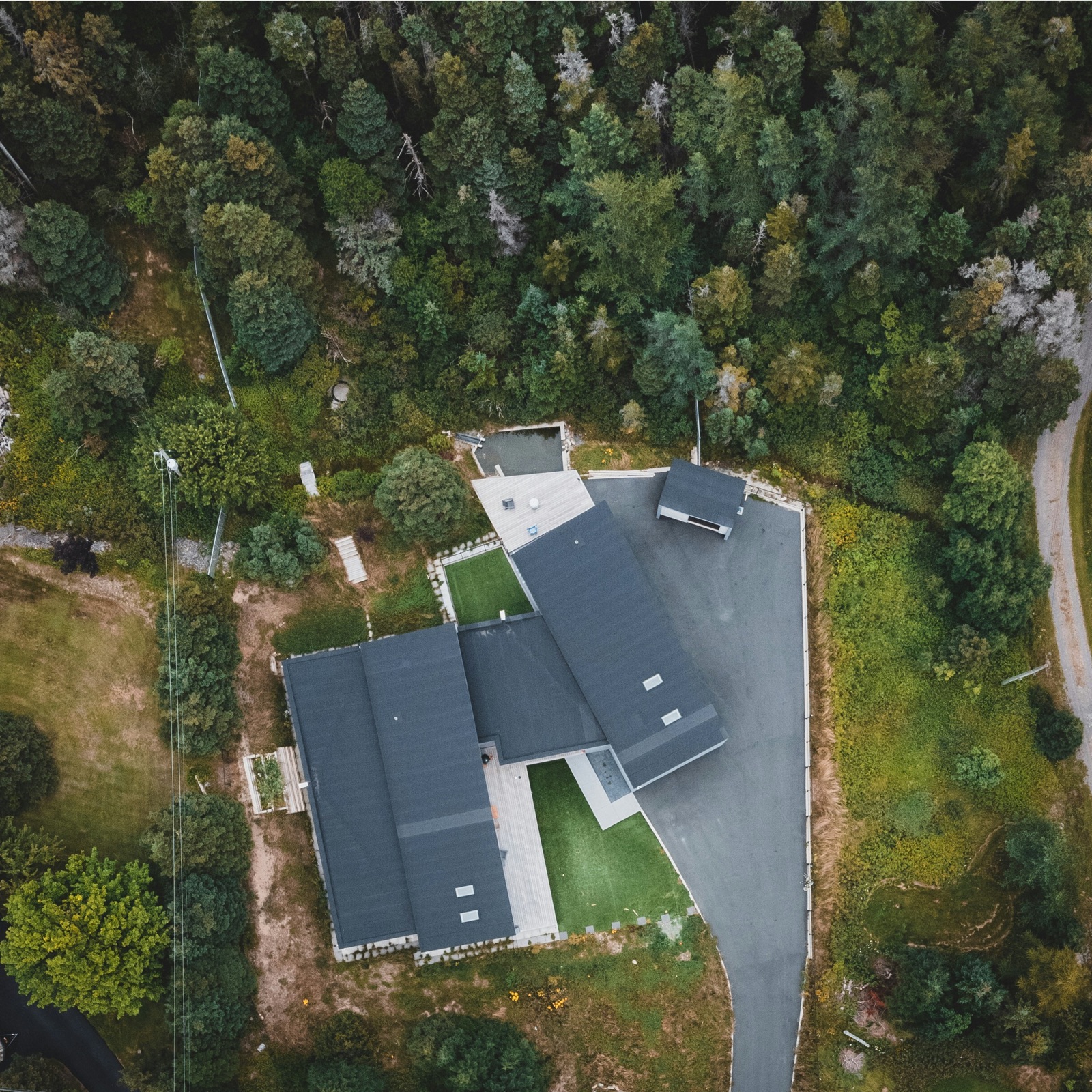
Estimated Roof Dimensions
2,480
sq ft footprint (est.)
62 × 41
width × depth (ft)
Back (north-facing)
Front (south-facing)
Right (east-facing)
Left (west-facing)
Estimated from the building outline recorded in OpenStreetMap, not measured on site. Treat it as a low-side floor rather than a precise number. It can read low for three reasons: the outline is flat, so pitch, dormers, and valleys add real surface it does not count; roof sections hidden under tree cover or overhangs are often missing from the outline entirely, so partially covered roofs are undercounted; and if the roof was replaced or worked on within roughly the last 3 months, the outline may be stale. Confirm on the roof before relying on this number.
Areas you may want to have a roofer look at
Front slope
Granule wear
Back slope
Flashing detail
Side slopes
Edge / drip line
Roof areas are read from satellite imagery and describe condition and aging, not damage. If the roof was replaced or worked on in the last few months, the satellite view may be out of date.
Annotated Evidence
Your photos, with the zones and findings drawn on top.
Every uploaded photo is layered with the defensible-space zones, AI plant tags, and callouts pointing at the findings. The same overlay renders in the PDF.
All Findings
6 total
Everything we documented.
- 01criticalImmediate · 0–5 ft
Cedar tree within 5 ft of structure
Remove or relocate. Ashe Juniper carries highly volatile oils and is the primary wildfire fuel in the Hill Country. Maintain a minimum 10 ft clearance from any wall or eave.
- 02highRoof surface
Leaves and debris in gutters
Clean gutters and install 1/8" mesh gutter guards. Accumulated organic debris becomes ember fuel along the roofline and removes ember resistance the roof was rated for.
- 03highImmediate · 0–5 ft
Wood mulch against foundation
Replace wood mulch with gravel or stone within 5 ft of the structure on all sides. A non-combustible perimeter is the highest-impact change you can make.
- 04moderateVents
Non-screened soffit vents
Install 1/8" mesh ember-resistant vent screens (ASTM E2886). Open vents allow embers to enter the attic during a wind-driven fire.
- 05moderateIntermediate · 5–30 ft
Ladder fuels under tree canopy (back yard)
Limb up trees so the lowest branches are at least 6 ft above the ground and clear shrubs from beneath the canopy. Breaks ladder-fuel continuity.
- 06lowExtended · 30–100 ft
Dense King Ranch Bluestem in extended zone
Mow to 4" or replace with native grasses. Dry stands create continuous ground fuel during a Red Flag window.
Action Plan
Your prioritized to-do list.
The same findings, re-sorted by what moves the score furthest, fastest. Work the critical and high items first.
This Week
- 01
Cedar tree within 5 ft of structure
criticalImmediate · 0–5 ftRemove or relocate. Ashe Juniper carries highly volatile oils and is the primary wildfire fuel in the Hill Country. Maintain a minimum 10 ft clearance from any wall or eave.
Next 30 Days
- 02
Leaves and debris in gutters
highRoof surfaceClean gutters and install 1/8" mesh gutter guards. Accumulated organic debris becomes ember fuel along the roofline and removes ember resistance the roof was rated for.
- 03
Wood mulch against foundation
highImmediate · 0–5 ftReplace wood mulch with gravel or stone within 5 ft of the structure on all sides. A non-combustible perimeter is the highest-impact change you can make.
Next 60 Days
- 04
Non-screened soffit vents
moderateVentsInstall 1/8" mesh ember-resistant vent screens (ASTM E2886). Open vents allow embers to enter the attic during a wind-driven fire.
- 05
Ladder fuels under tree canopy (back yard)
moderateIntermediate · 5–30 ftLimb up trees so the lowest branches are at least 6 ft above the ground and clear shrubs from beneath the canopy. Breaks ladder-fuel continuity.
Next 90 Days
- 06
Dense King Ranch Bluestem in extended zone
lowExtended · 30–100 ftMow to 4" or replace with native grasses. Dry stands create continuous ground fuel during a Red Flag window.
Evidence Manifest
Chain-of-custody, end to end.
Each capture is hashed at upload time, so anyone reviewing the report can verify the photos against the manifest.
Immediate · 0–5 ft
e-001 · 15:08 UTC
62fe4d912462…
Roof surface
e-002 · 15:09 UTC
2ff6df652851…
Siding
e-003 · 15:10 UTC
39453d0529d5…
Intermediate · 5–30 ft
e-004 · 15:11 UTC
213bd9124213…
Total Photos
4
Hash Algorithm
SHA-256
Schema
NGDS 1.0.0
Generated
Apr 22, 2026
The Deliverable
See exactly what the homeowner receives.
The PDF is rendered from the same data shown above. It opens in any browser, so you can review the full deliverable end to end.
Read the regulations